PROTOTYPE URBAN ECOLOGY EAST RIVER NYC I
Direct Relationship between City and River through a sustainable, efficient Lifestyle
Project produced for:
Post Professional MS Architecture and Urban Design - 2013
Pratt Institute, New York City
Ferda Kolatan’s Studio
COURSE REQUIREMENTS
The goal of the project was to deal with the constant and exponential demographic growth in New York City and the lack of space. The site was along the waterfront at the Brooklyn bridge park.
ANALYSIS
Over the years, the New York City shoreline has been modified and every time, a bit more of the original and natural condition of its shoreline has been lost. The river edges had been rectified and terrain had been gained to the water. This triggers climate catastrophes and consequently, the city remains unprotected against storms and, hurricanes.
Widely used ecological tendencies try to "go back to nature" and erase every trace of the "modern and technological world". These radical "solutions" have demonstrated not to work well, at least with the larger percentage of the population. Most of them don’t adequate to our way of leaving and can’t be applied massively.
Widely used ecological tendencies try to "go back to nature" and erase every trace of the "modern and technological world". These radical "solutions" have demonstrated not to work well, at least with the larger percentage of the population. Most of them don’t adequate to our way of leaving and can’t be applied massively.
*VIDEO SHOWING HOW THE SHORELINE GREW AND HAS BEEN MODIFIED OVER THE YEARS
*VIDEO SHOWING FEMA'S FLOOD PROJECTION OF THE NEW YORK CITY COAST LINE
THE IDEA OF THE PROJECT
This project is about blending, what is generally seen as two different worlds, nature and the man-maid city.
The idea is to bring back the natural ecosystem that used to exist in New York's waterfronts, fuse it with the existing edge and benefit from it.
The idea is to bring back the natural ecosystem that used to exist in New York's waterfronts, fuse it with the existing edge and benefit from it.
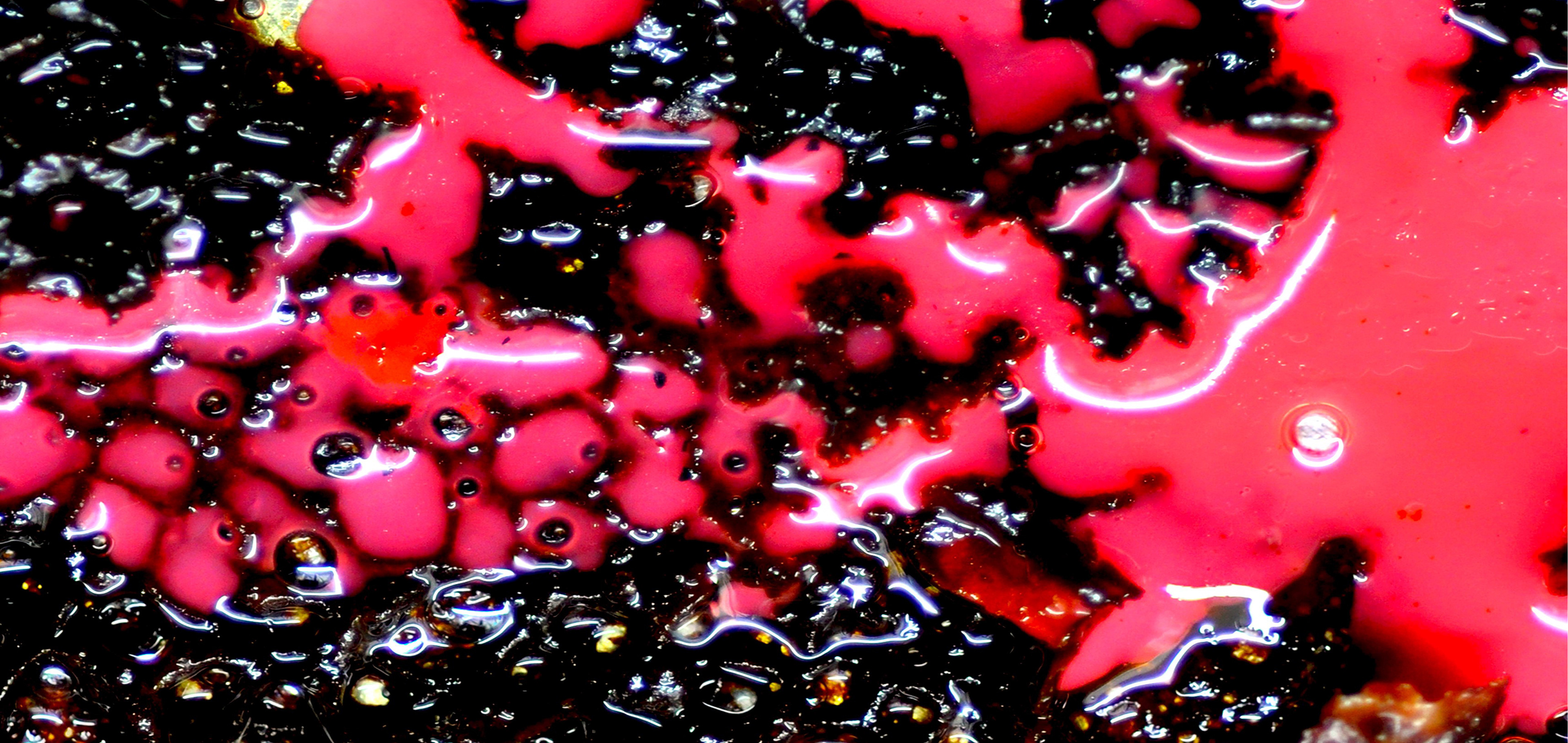
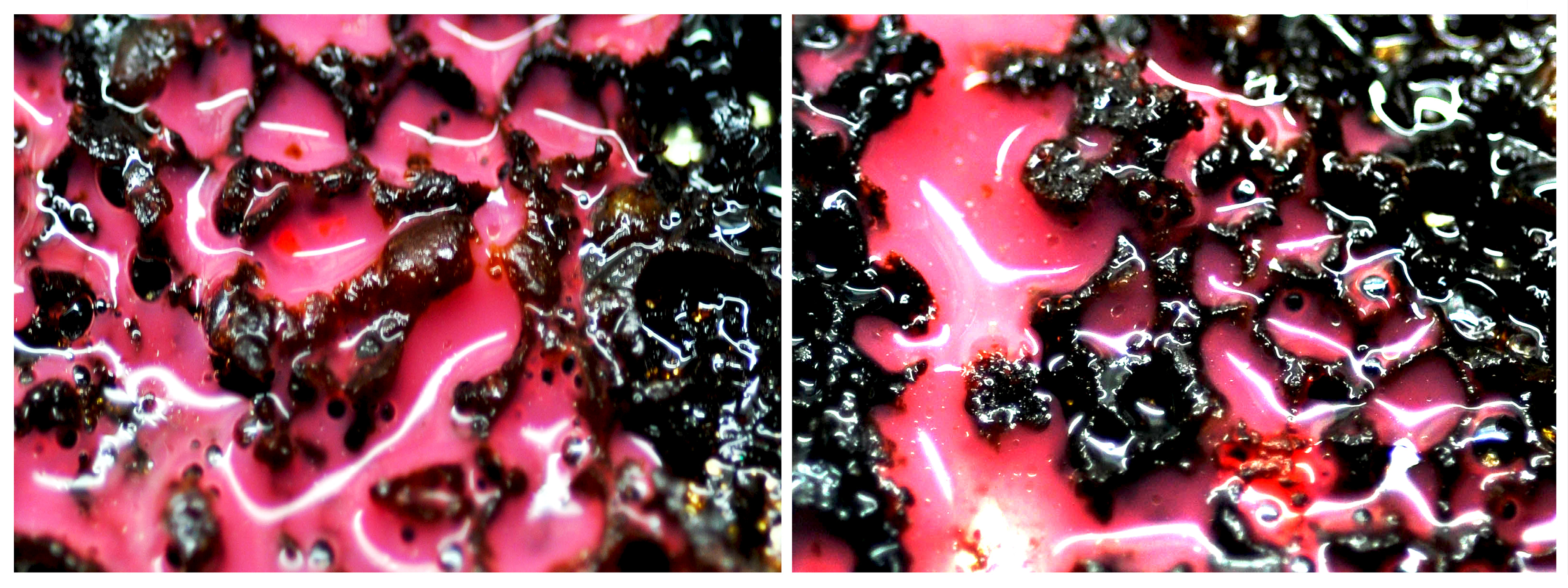
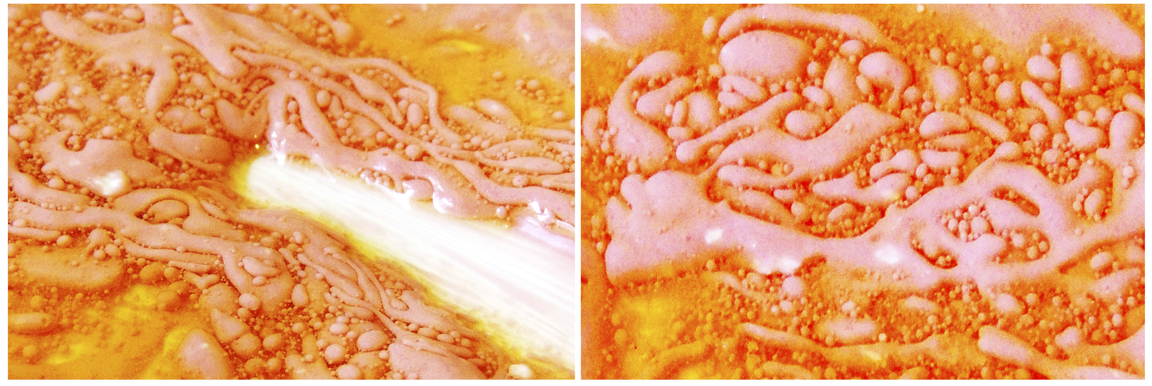
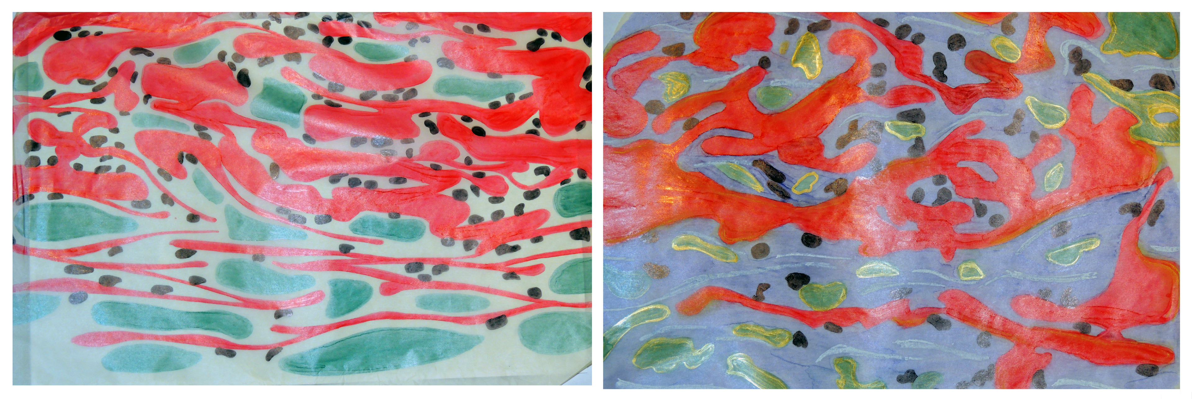
INSPIRATION – CHEMICAL PARADIGM
The chemical paradigm, Ferda Kolatan's approach and technique, that has been applied to this work process was for me a rich compound of suggestive, complex images bound with nature’s behavior, which I used to find a system and a logic for my project. These images were analyzed and altered through traditional techniques as well as different software and evolved in computer-generated imagery.
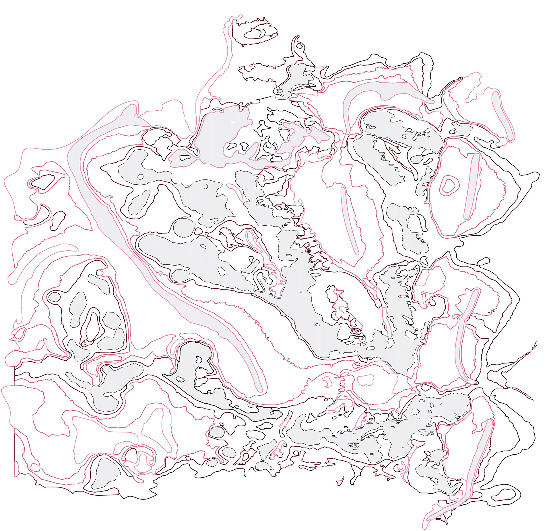
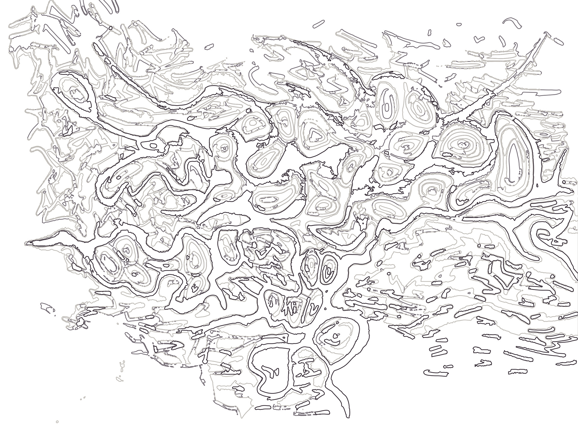
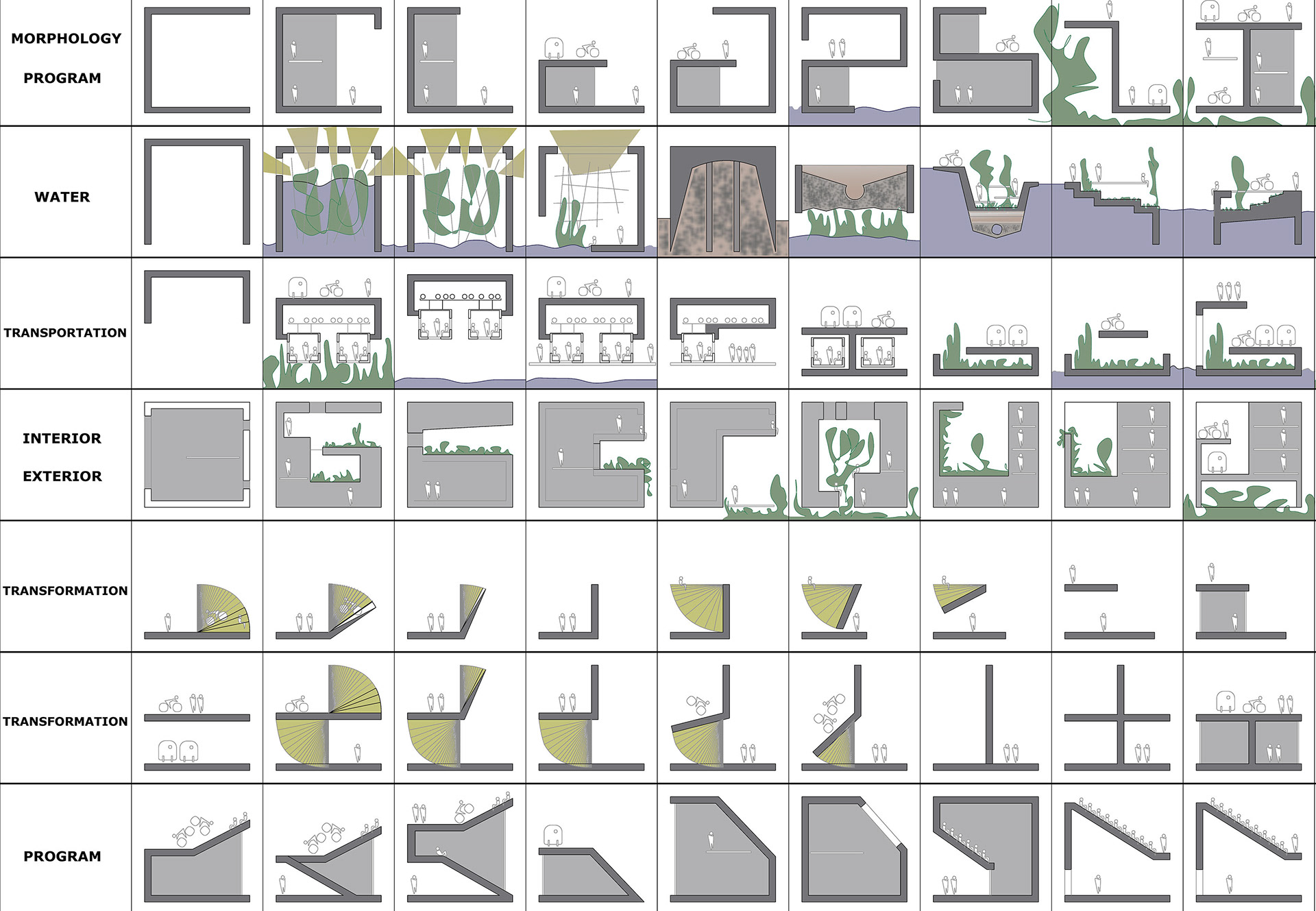
THE PROCESS – CONNECTING NEW TO EXISTING
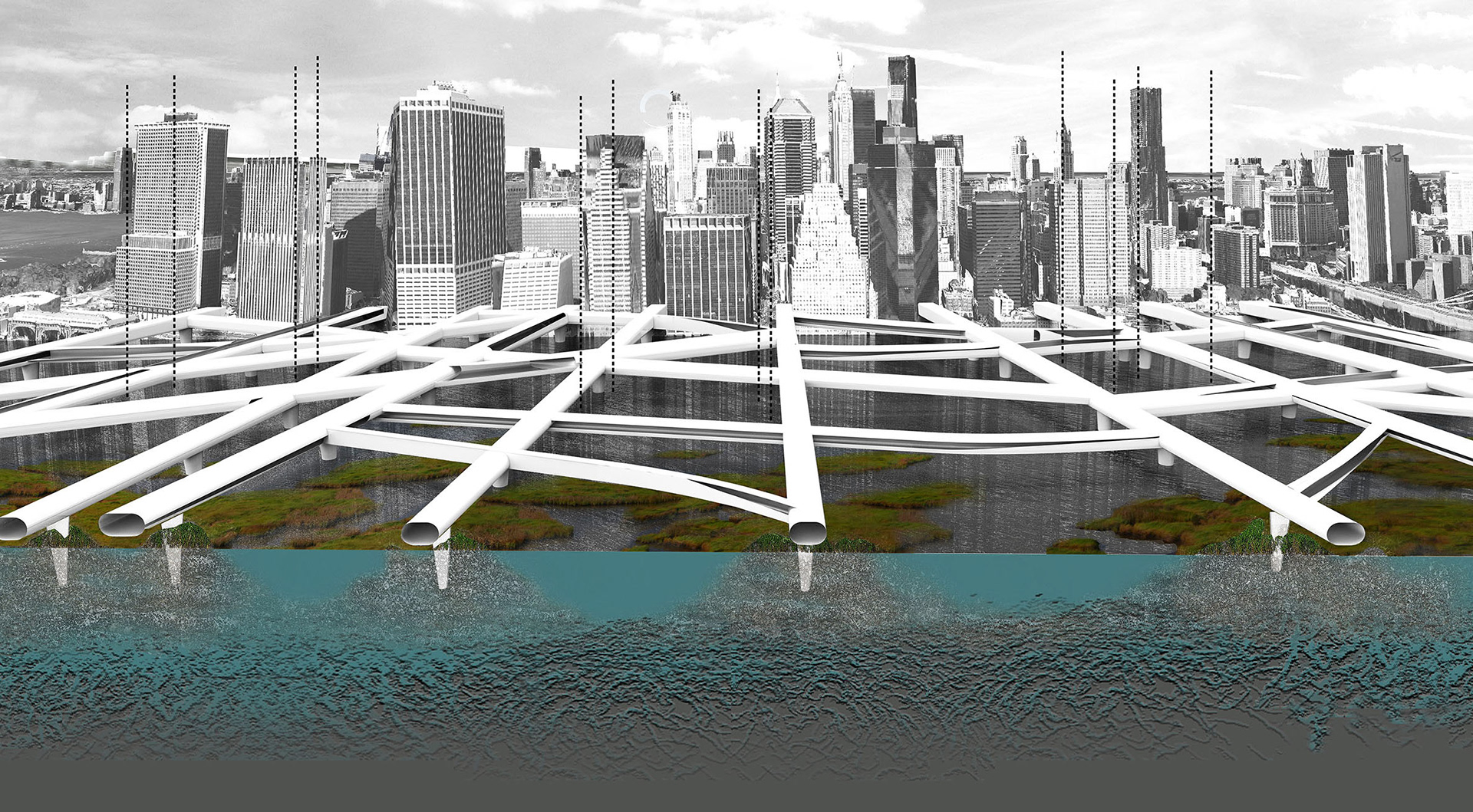
The traditional city grid appears to be morphological inflexible to contain "nature", but works very well in organizational terms. Therefore, I extend the existing tissue into the river, connecting and transforming it with the new one, and consequently generating a different morphology that in its complexity enables "nature" to grow inside of it.
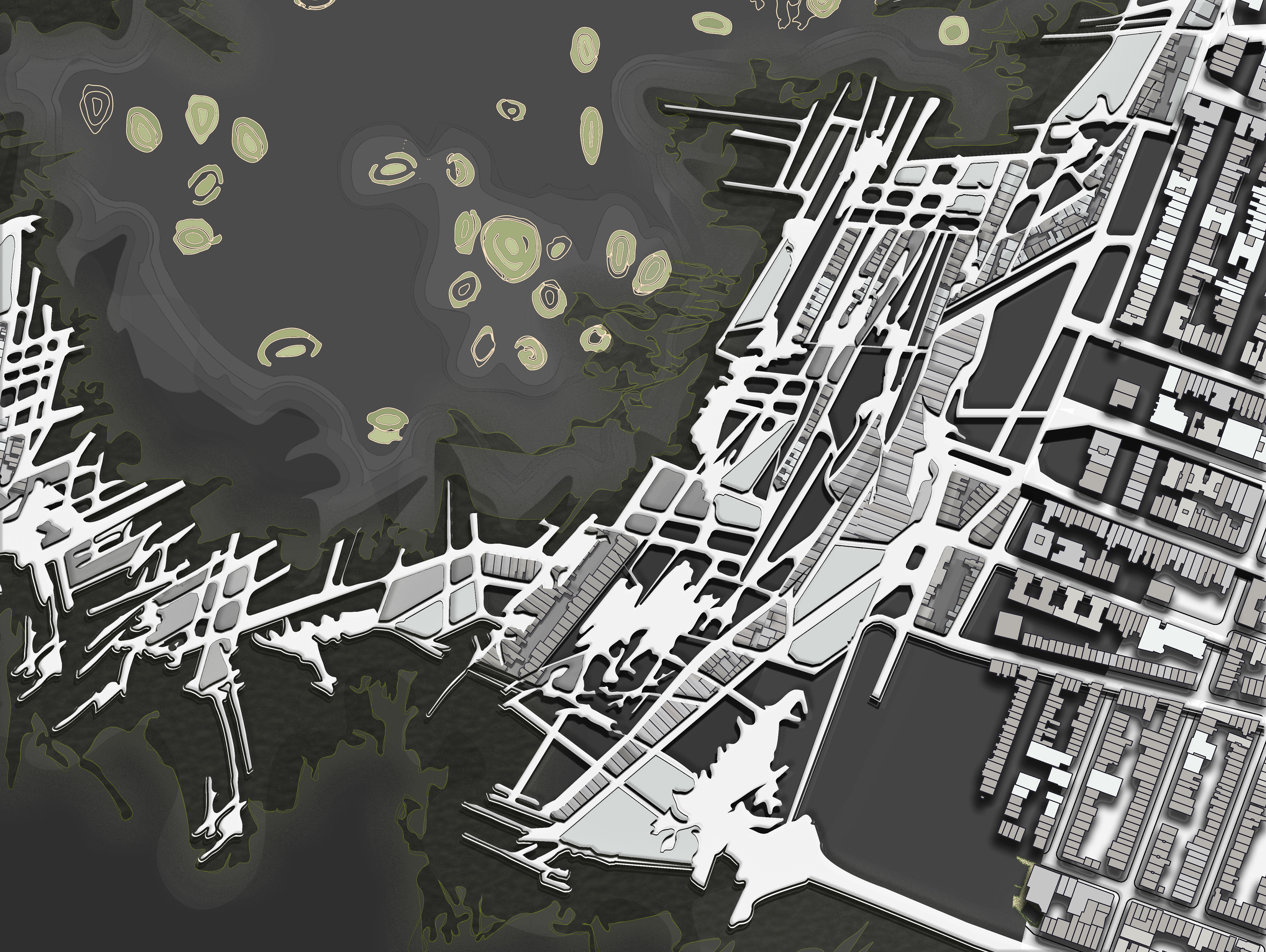
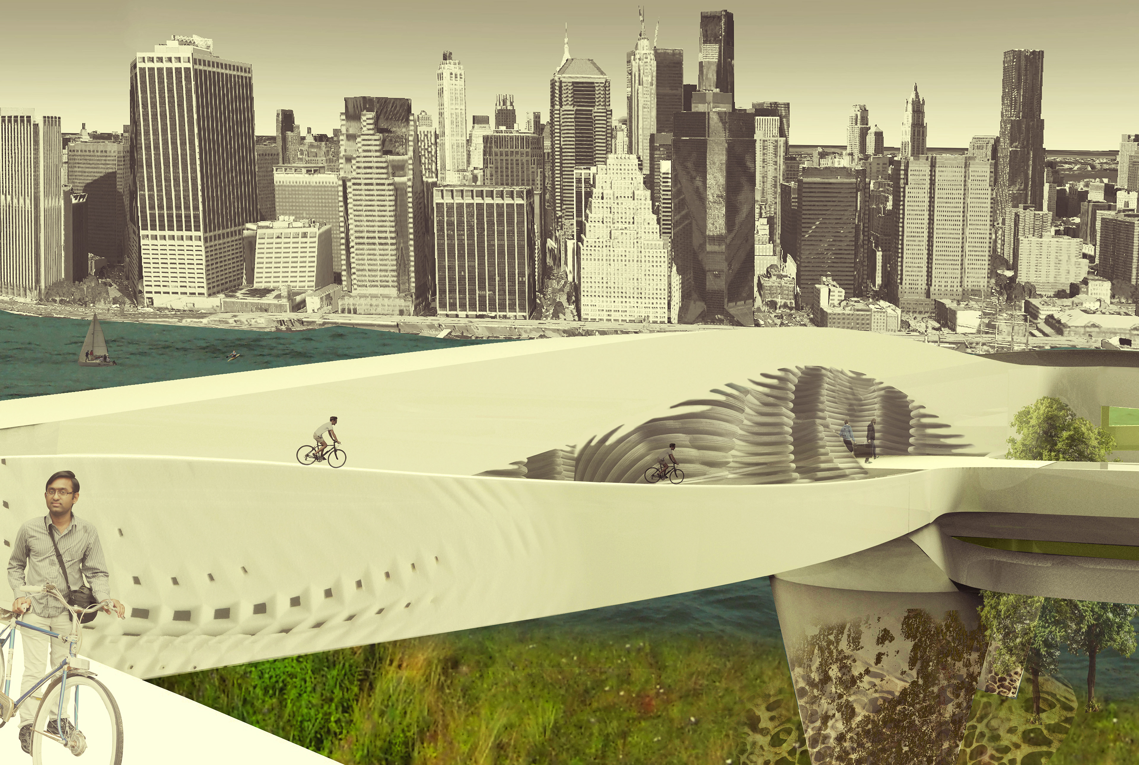
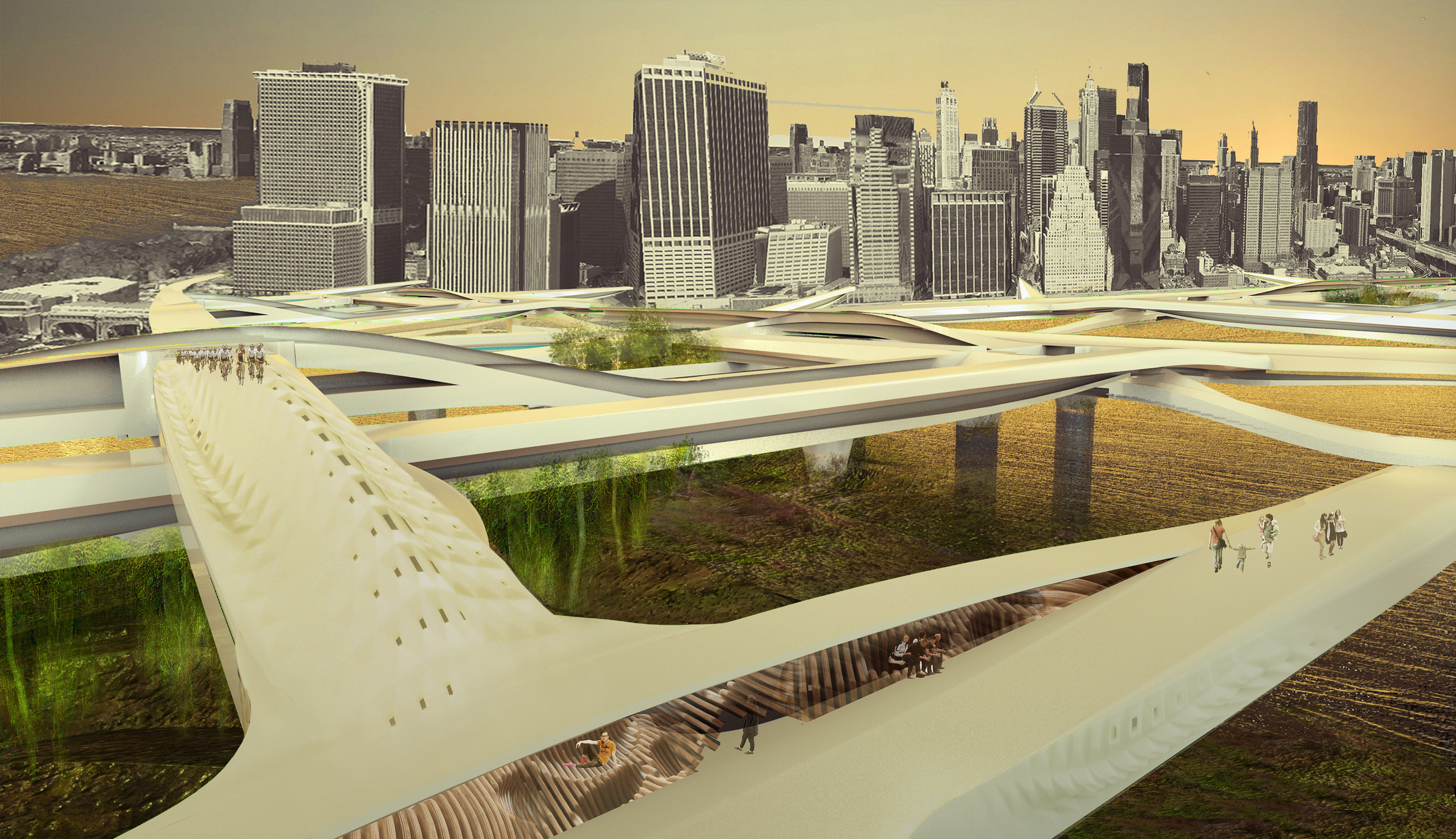
RESULT - ECOSYSTEM - RESILIENCE
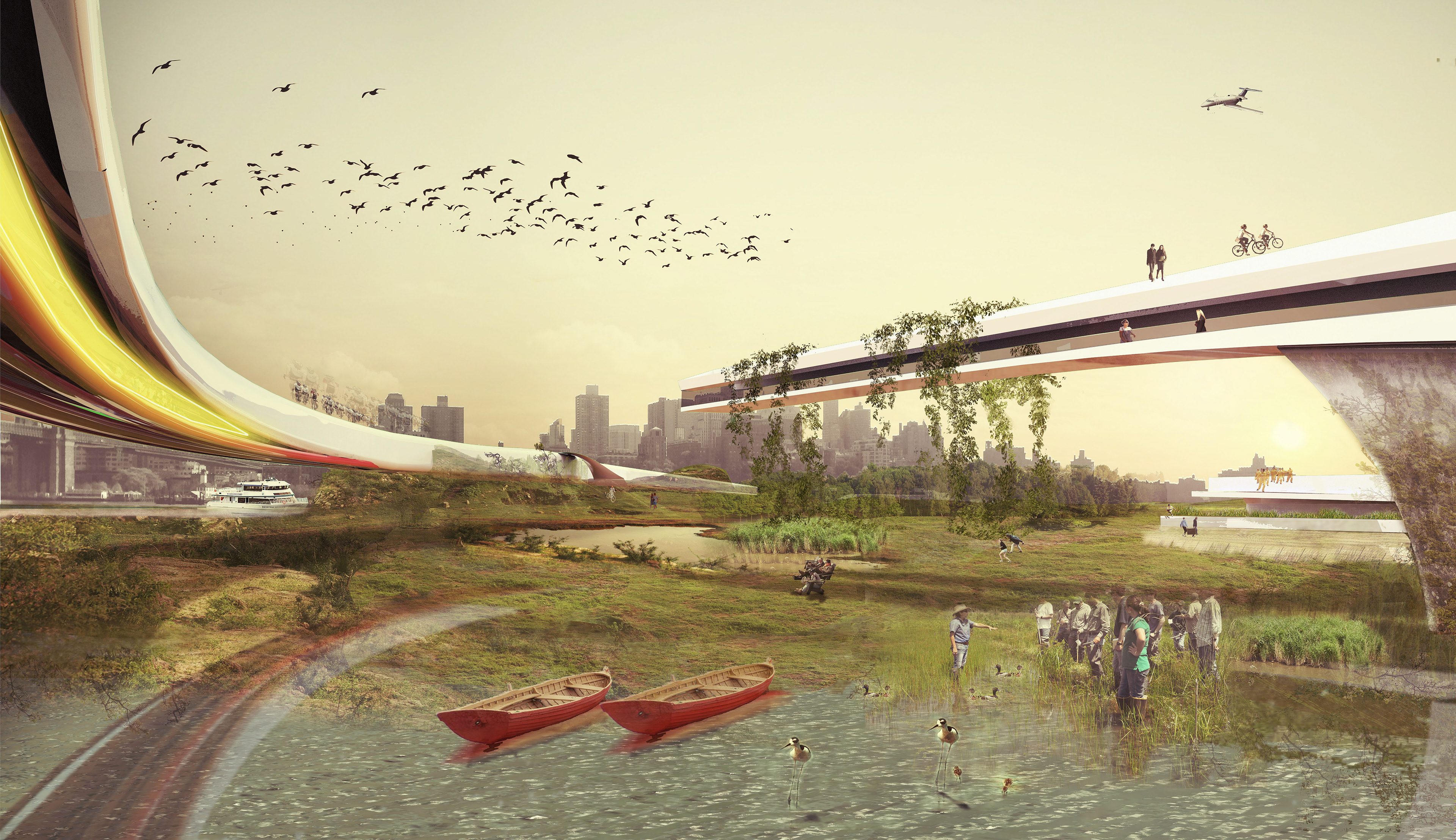
The new and altered grid forms a permeable border and encloses a body of water for the natural ecosystem to grow and expand. The border controls the water current strength and the transportation along the river.
The grown ecosystem functions as a sponge, being able to absorb the already rising water levels and avoid drastic climate changes at the waterfront, as well as naturally filtering the water, resulting in clean water for the city's enjoyment.
*IMAGE SHOWN WITH A 100 YEAR FLOOD (10FT) ACCORDING TO FEMA
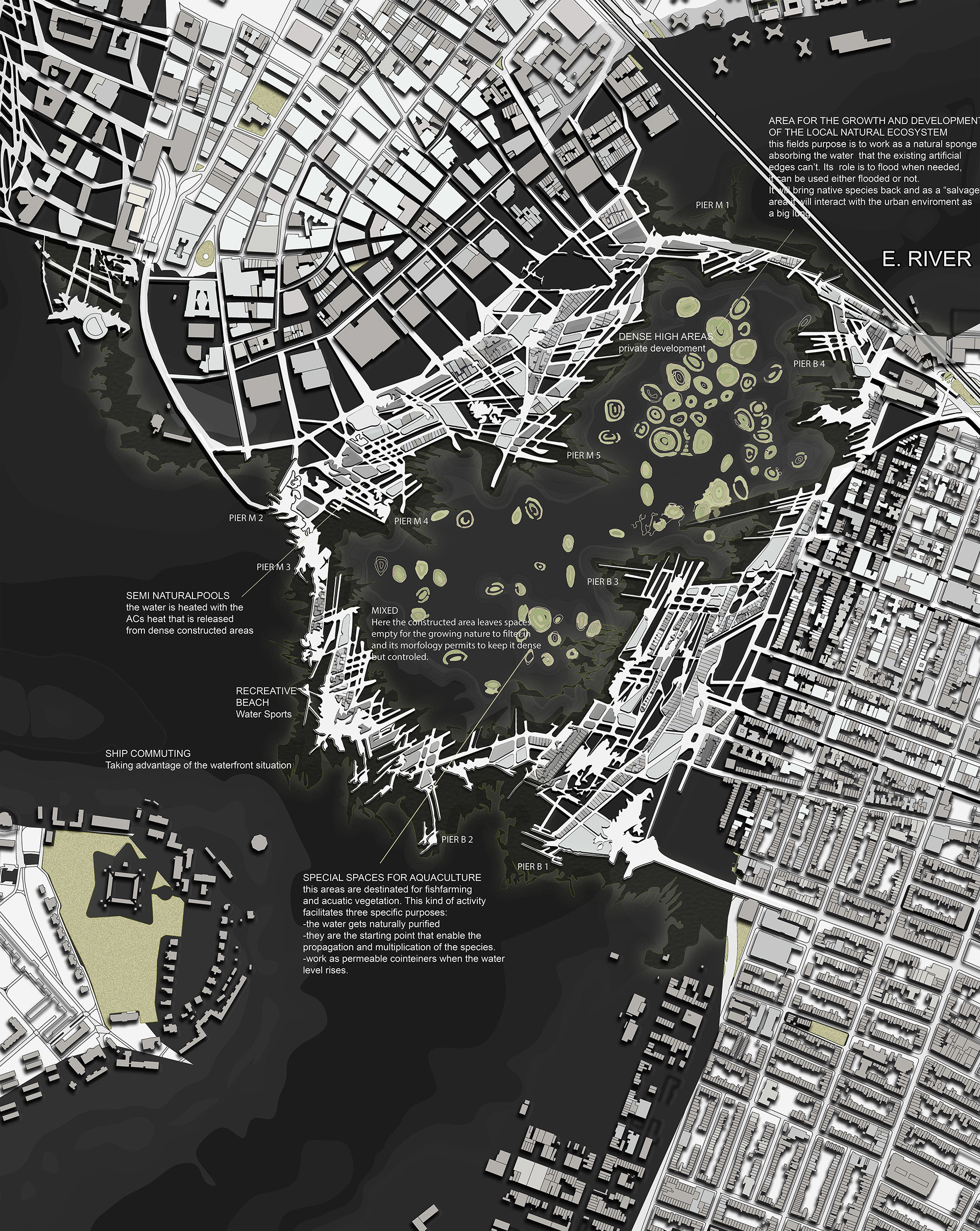
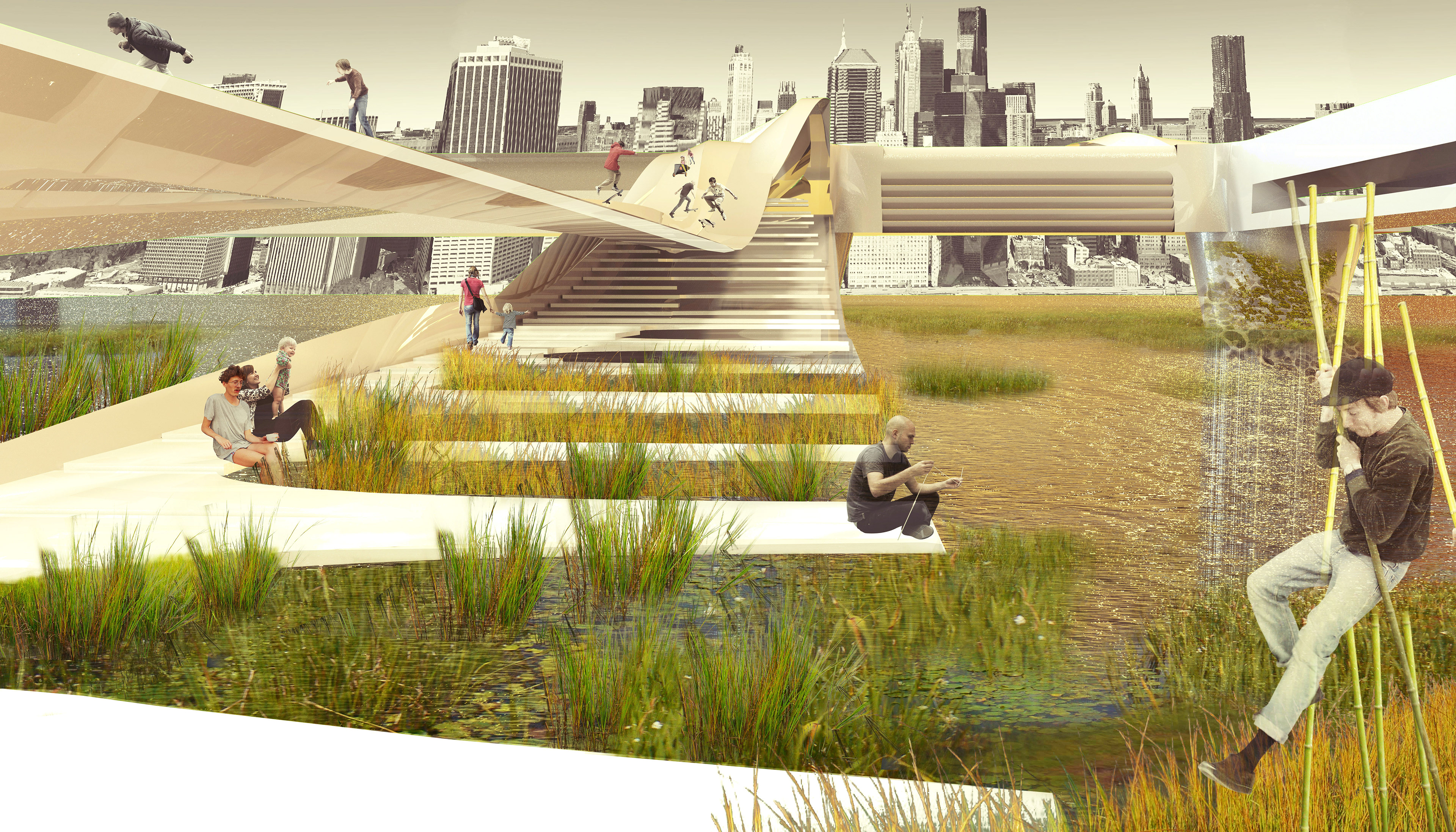
NATURAL POOLS – USE OF ENERGY
Currently the river water activities are limited due to two main concerns, one is the water not being clean enough to swim in it, the second one is the strong current.
In this proposal, many natural pools with clean water and controlled water stream are created.
The buildings built in the area will have an energy exchange with the river. The heat generated in the buildings will be released in the water to heat the natural pools and the energy produced by the water flow will contribute to power the buildings.
CITY – WATER
The border of the project intends to connect programmatically the city with the river. Various piers function as recreational and commuting systems. This water-front living connects Brooklyn and Manhattan with program, both boroughs have now a much more tangible bound.
DENSITY – USE OF ENERGY
Considering that density is essential for big cities, because it’s the most sustainable way to live in them, this proposal generates a dense community, which consequently uses less energy and shares more facilities. But it also interacts with the natural ecosystem on a daily bases compared to a lifestyle out of the city.
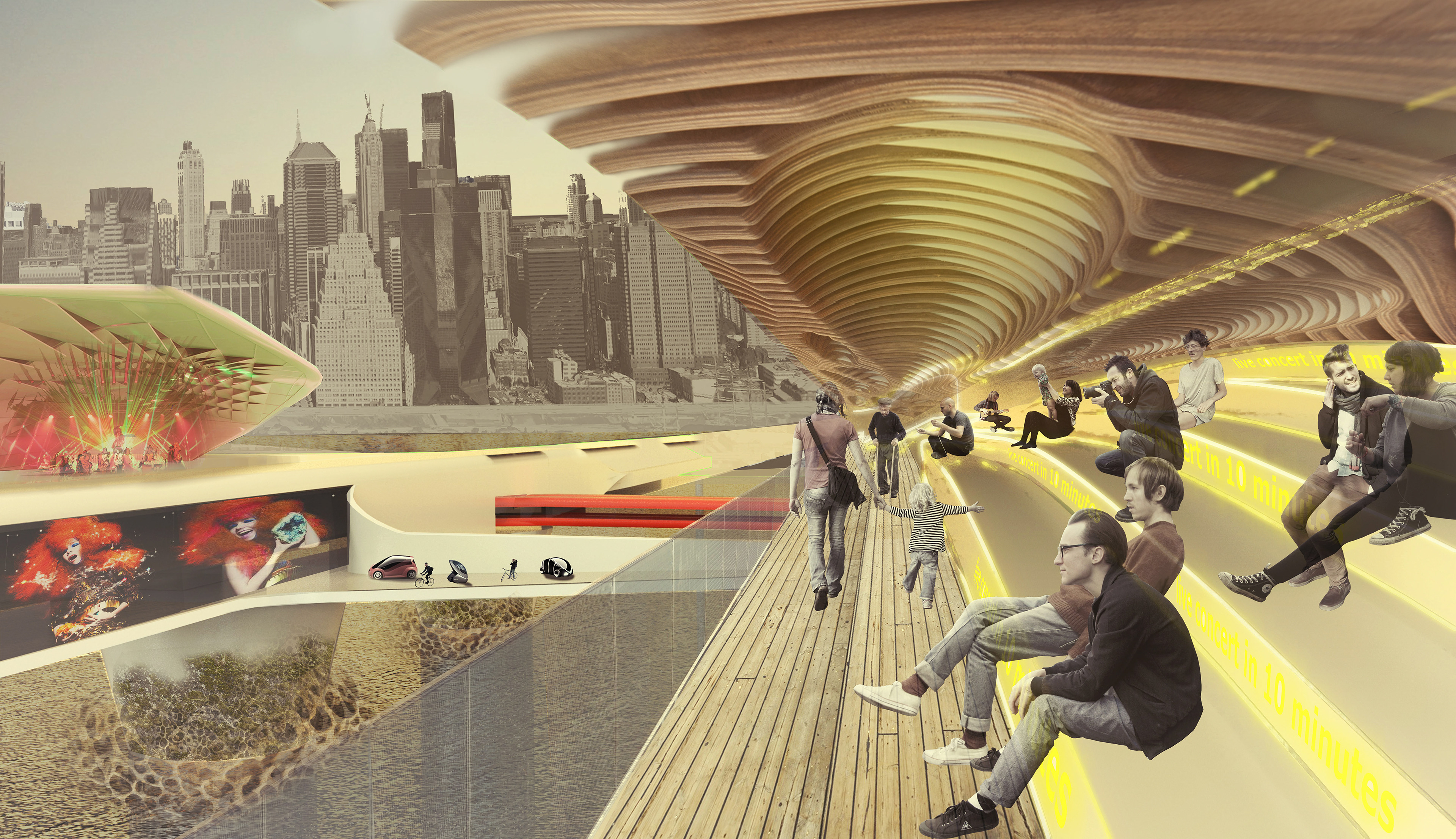
CONNECTIVITY
As mentioned before, the area behaves as a sponge and it’s prepared to get periodically flooded, when it’s at this stage the lower areas or roads can’t be used. The main connections are elevated roads, these are the “fast” way to travel through the new grid, and the connections that always remain functional. The rest of the streets intent to be “slower” streets, pedestrian, bicycle paths and H2 cars.